The last coastline anyone drew on the map of the world.
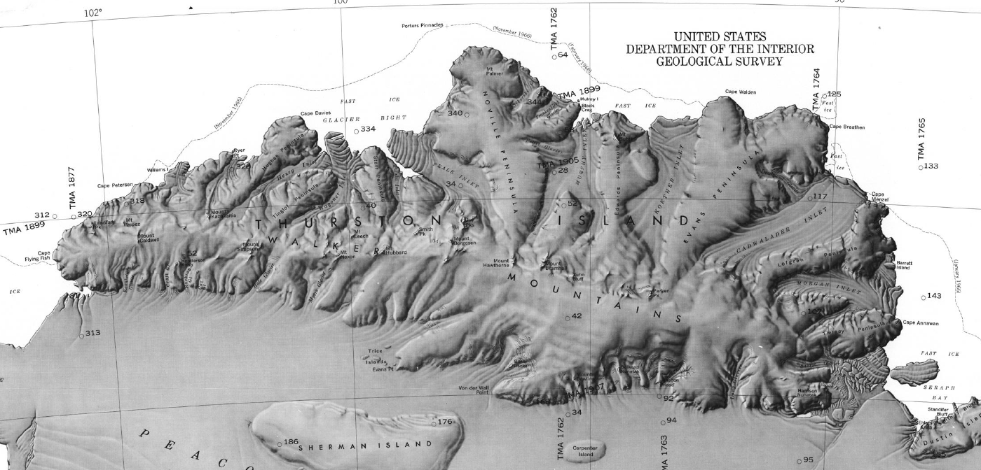
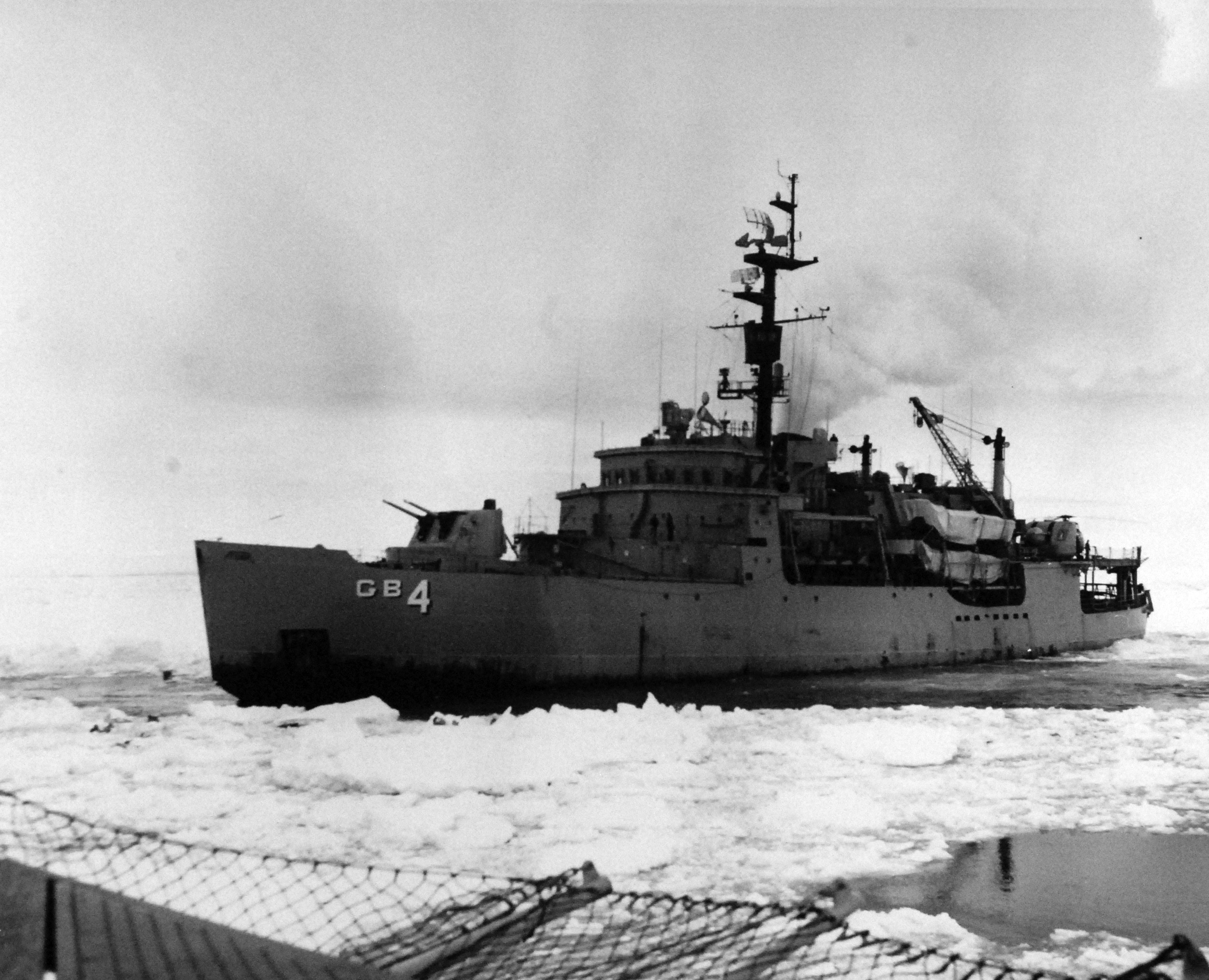
On 15 February 1960, two icebreakers of Operation Deep Freeze, USS Glacier and USS Burton Island, met off Peter I Island and turned south into the Bellingshausen Sea, toward a coastline ships had searched for and never reached. The expedition itself called it the Phantom Coast: the last unmapped coastal sector of Antarctica, and of the world. Glacier became the first icebreaker to force her way through the frozen Bellingshausen Sea, carrying scientists in geology, oceanography, ornithology and topography, and earned the Navy Unit Commendation for it. Much of the topography charted on that voyage is named for her crew.
On the way out, the ice nearly kept her. Beset in heavy pack, hundreds of miles from open water, with winter coming down, the ship that had just charted the last blank space on the map had to fight her way back off it. In January 2028 the expedition returns to that coast, led back by the man whose fixes put it on the chart, and whose name it still carries. No civilian expedition has ever landed there.